Bernese Oberland
Gstaad
Avalanche Problems
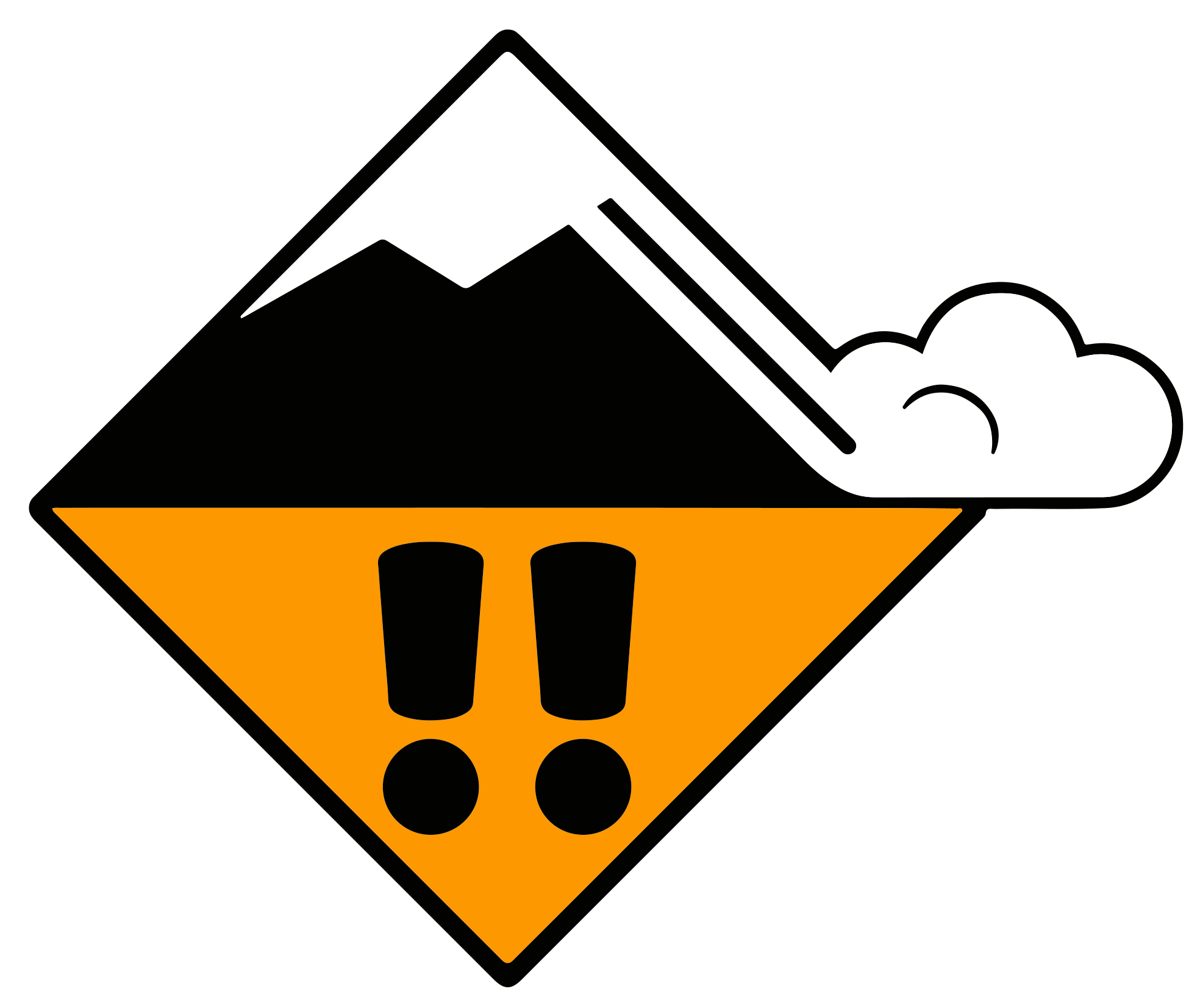 New snow
3=
Field notes
Easy to spot - the snow is fresh. Look at recent avalanche activity in similar terrain, and pay attention to how much new snow has fallen in the last three days. Critical loading depends on temperature, wind, and what was on the surface before the storm. SLF advises waiting until the Snow deposited on the ground in a multiplicity of layers.EAWS glossary has had time to bond before committing to steep terrain in fresh snow.
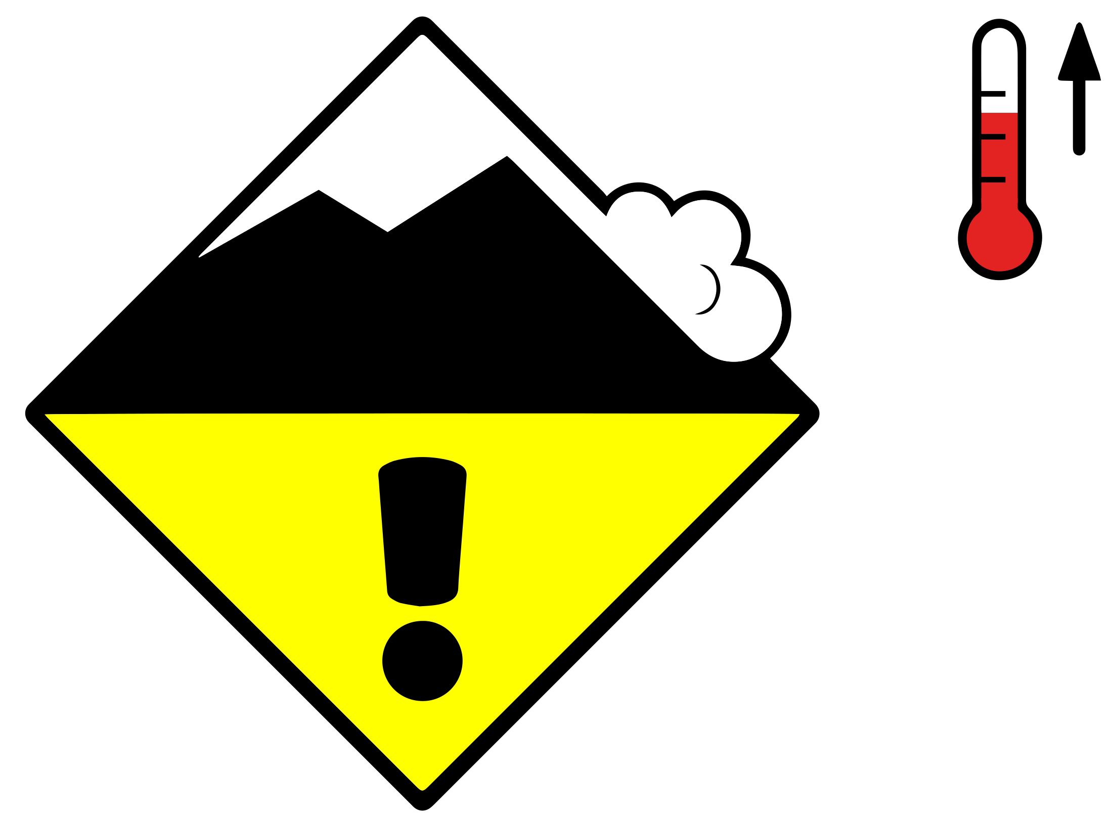 Wet snow + Gliding snow
2
Field notes
Wet snow
Rolling snowballs, deep penetration when you step or ski, and small natural slides are clear signals that the Snow deposited on the ground in a multiplicity of layers.EAWS glossary is losing strength. After a clear, cold night the surface often freezes into a strong supporting Layer of hard-compacted snow resulting from a melt-freeze process or wind.EAWS glossary, and conditions are favourable in the early morning. After a warm, overcast night, the problem may be present from the start of the day. Plan early returns and watch the runout zones below you.
Gliding snow
Almost impossible to predict precisely, even when the warning signs are visible. A crack visible on the snowpack surface formed by snow-gliding on steep, and particularly grass-covered slopes. Areas below slopes with visible glide cracks should be avoided whenever possible due to threat of gliding sluffs or avalanches.EAWS glossary — gaps that open in the Snow deposited on the ground in a multiplicity of layers.EAWS glossary down to the ground — are often precursors to release, but they don't tell you when. A glide avalanche can release minutes after the cracks appear, or weeks later, or not at all. Some release without any visible warning. Avoid lingering anywhere near glide cracks: above them, alongside them, or below in the runout.
Snowpack & Weather
Snowpack
Weather review
19.11. 17:00 – 20.11. 17:00
- Snowfall limit: 1120 to 1350 m
- Maximum temperature at 2000 m: -1.6 °C
- Fresh snow at 1500 m: 9 cm
- Fresh snow at 2500 m: 11 cm
- Wind speed: 32 km/h
- Wind direction: SW
20.11. 17:00 – 21.11. 17:00
- Snowfall limit: 1210 to 1480 m
- Maximum temperature at 2000 m: -0.3 °C
- Fresh snow at 1500 m: 3 cm
- Fresh snow at 2500 m: 5 cm
- Wind speed: 32 km/h
- Wind direction: SW
Weather forecast
21.11. 17:00 – 22.11. 17:00
- Snowfall limit: Below 970 m to 1640 m
- Maximum temperature at 2000 m: 3.3 °C
- Fresh snow at 1500 m: Sleet
- Fresh snow at 2500 m: 8 cm
- Wind speed: 32 km/h
- Wind direction: SW
Outlook
Dry avalanches
Avalanches can be released, even by a single winter sport participant. Natural avalanches are to be expected. These can also be triggered in the Snow layers deposited from earlier precipitation, prior to fresh fallen snow. Old snow layers consist of metamorphosed snow crystals.EAWS glossary, especially on north and east facing slopes above approximately 2600 m. In the typical avalanche paths the avalanches can in isolated cases reach very large size and endanger transportation routes situated at relatively high altitudes. The conditions are very critical for backcountry touring.
Wet-snow avalanches
On steep grassy slopes medium-sized gliding avalanches are to be expected below approximately 2400 m. Caution is to be exercised in areas with A crack visible on the snowpack surface formed by snow-gliding on steep, and particularly grass-covered slopes. Areas below slopes with visible glide cracks should be avoided whenever possible due to threat of gliding sluffs or avalanches.EAWS glossary.